
Your source for Mountain Biking in the Triangle
Raleigh-Durham-Chapel Hill

|

Your source for Mountain Biking in the Triangle Raleigh-Durham-Chapel Hill |
||||||||

Description
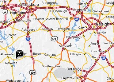
Location: Troy, NC on NC 24
Miles: Depending on the route, you can get over 20 miles
Skill Level: Intermediate
Contact: Uwharrie Park Service

Trail Map
Park Hours and Fees
No fees and open 24 hours
Directions
The
'Wood Run' trail system starts at the parking
area/entrance to the Uwharrie National Forest on Hwy
24/27, about 10 miles east of Albemarle, NC. There are
standard USFS Info Boards that have area and trail maps
at this trailhead. A map is a recommended item unless you
know the area well. A map is also available at the web
link listed below. NOTE - both trails start EXACTLY 2.60
miles down a gated Forest Service road. The trails are
indicated by flexible fiberglass 'wands'.
Driving Directions via Google
Rules of the Trail
The Uwharrie
and Dutchmen’s Creek hiking trails are not open to
mountain bikes. These trails are blazed with single white
and yellow paint blazes.
Please respect this rule and only ride on the Wood Run Mountain
Bike Trails. These trails will be marked with the double,
white paint blazes. Look for signs with the UMBA symbol,
signifying bike and hiker use.
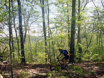
Keyauwee
Definitely the best
trail out here. It has some good climbs, decent downhills
and great creek crossings. Can be a little muddy in spots
and rocky in others. If you ride one trail here, it's
this one. Keyauwee is named for the last band of Native
Americans to live in the Uwharrie Lakes Region.
SuperTree
A mix of single and
double track with a couple climbs. When mixed with
Keyauwee, it makes for a good day of riding.
Skyrock
This trail is closed with no current plans to reopen it.

Night riding is allowed.